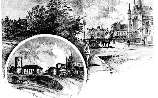
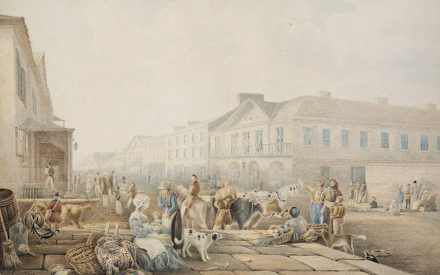
Before the mid-nineteenth century, Argyle Street was in two parts on two levels, separated by a precipitous ridge of rock, requiring all but the most adventurous to make the journey from one side to the other by foot around the water’s edge. From the early years of settlement, there were calls for an opening to be made, and as the commercial waterfront spread further west it became more urgent to cut through the rocks to create a direct route to Millers Point and Darling Harbour. There were proposals from private contractors to do this, but nothing came of them and it was not until 1842 that convict chain gangs began hewing into the rock. The task proved too difficult for their crude picks and the project was abandoned until the City Council completed the job in 1859 using explosives. This made an entry through to the other side, but it took years to construct the overhead bridges to reunite the severed sections of Gloucester Street, Cumberland Street (1864) and Princes Street (1869).
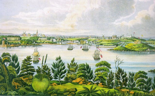
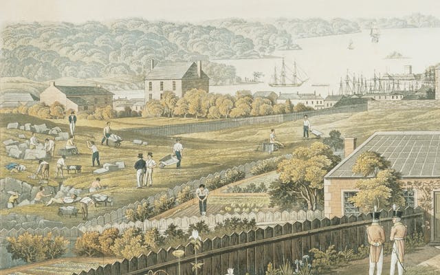
The blasted rocks from the Argyle Cut were used as infill for the creation of Circular Quay. So were rocks from along the eastern side of the Quay, leaving the dramatic cliff face that leads towards the Opera House. So too were the high rocks of the island known as Fort Denison, and parts of the rocky outcrop near the head of Neutral Bay on the northern side of the harbour. In a city built on rock, wherever you look there is evidence of places that have been levelled and dug out and blasted through an ongoing task of rearranging the rocks.
From the time it was created, the Argyle Cut has been one of the most photographed and painted places in Sydney and it was one of the earliest places to be listed by the National Trust as a place of heritage importance.
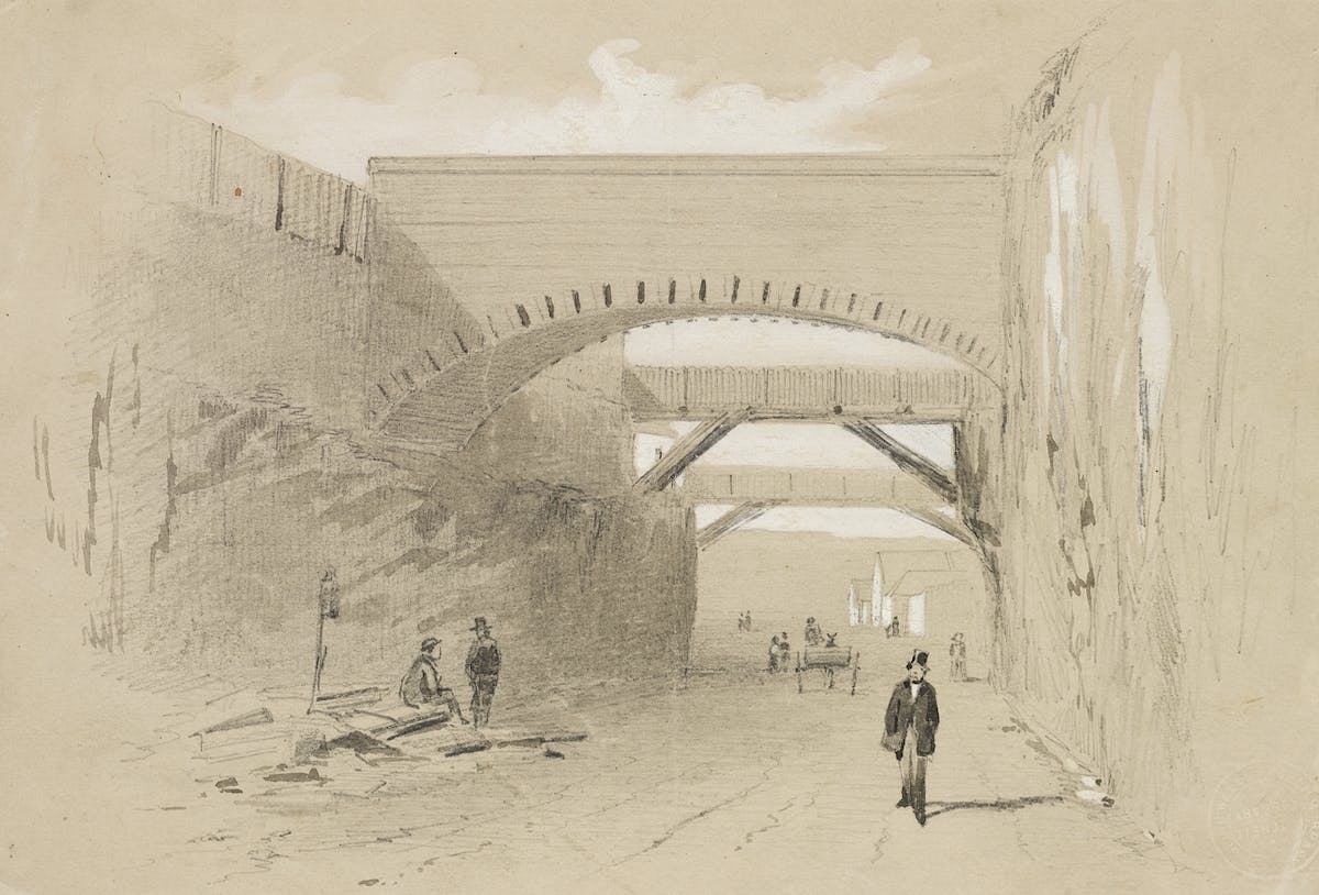
I have examined the situation where it is proposed to form a cut between George-street and Darling Harbour, through Argyle-street; I consider that a tunnel might be made without any extraordinary difficulty, and that the nature of the stone is such as would form a good and sufficient roofing. The stone which would be obtained from the tunnel would be equally good for the purposes of building; but the stone could be procured with greater facility from the cut, and the latter might be effected in much less time than a tunnel, as more men might be employed at one time; but, if a cut were made, I recommend that it should be arched over, which however would be attended with considerable expense. (John Busby, Mineral Surveyor. Evidence before the Sub-Committee on the Argyle-street Company Bill, 1832)
The Argyle Cut has historical, scientific and cultural values. It is identified with the changing labour market in Sydney; has associations with convict labour and the acceptance of responsibility of urban growth and public works by the Sydney Council. It is an imposing example of convict public works and has aesthetic significance with the deep cutting providing a dramatic feature in Argyle Street. It has been ranked along with Busby's Bore and the building of Circular Quay as one of the most impressive engineering feats in early Sydney.
The Argyle Cut is a rare example of early responses to the geographical difficulties presented to urban growth. The large spine of rock that cut the area into two was a barrier to the ease of transportation between two important and growing maritime and mercantile precincts.
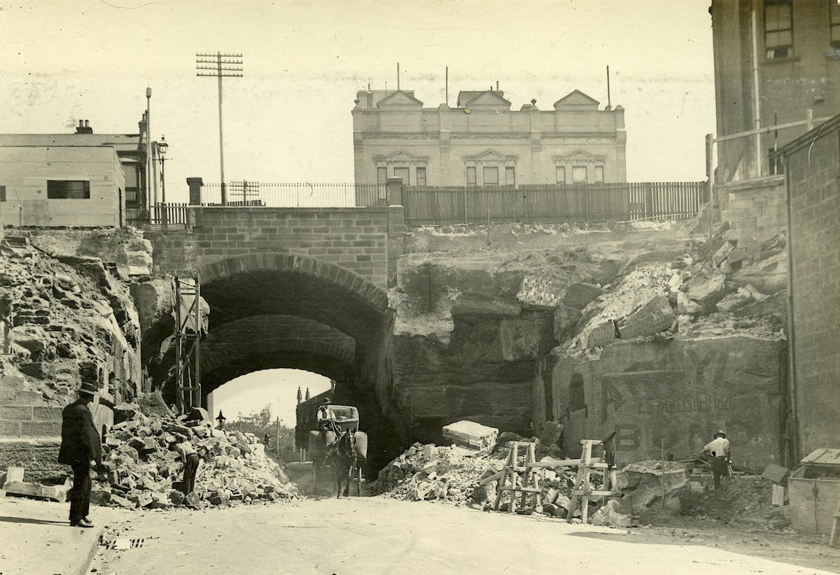
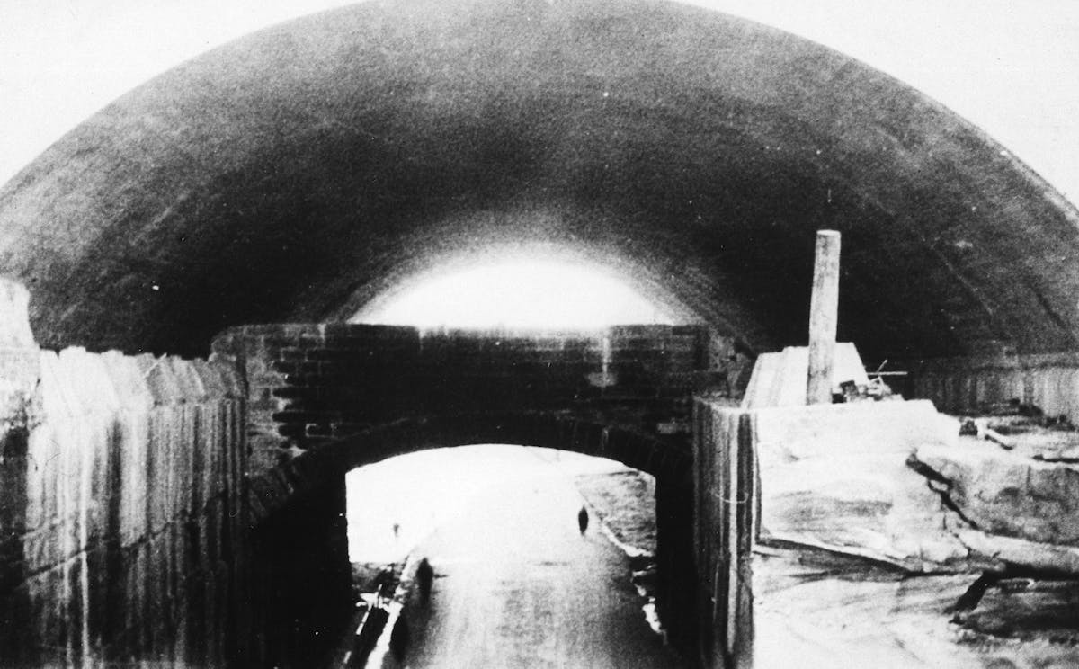
As part of the improvements undertaken by the Sydney Harbour Trust in 1911-12, Gloucester and Cumberland Streets were realigned and the two road bridges over the Argyle Cut were replaced by a single bridge at Cumberland Street, and the Argyle Stairs were constructed. This work involved the demolition of 22-24 Gloucester Street, part of View Terrace. Later, as part of the building of the Bradfield Highway in the 1920s, the Princes Street Bridge was demolished and the Argyle Cut was widened. The Bradfield Highway was constructed overhead, completed in 1932 to provide access to the Sydney Harbour Bridge.