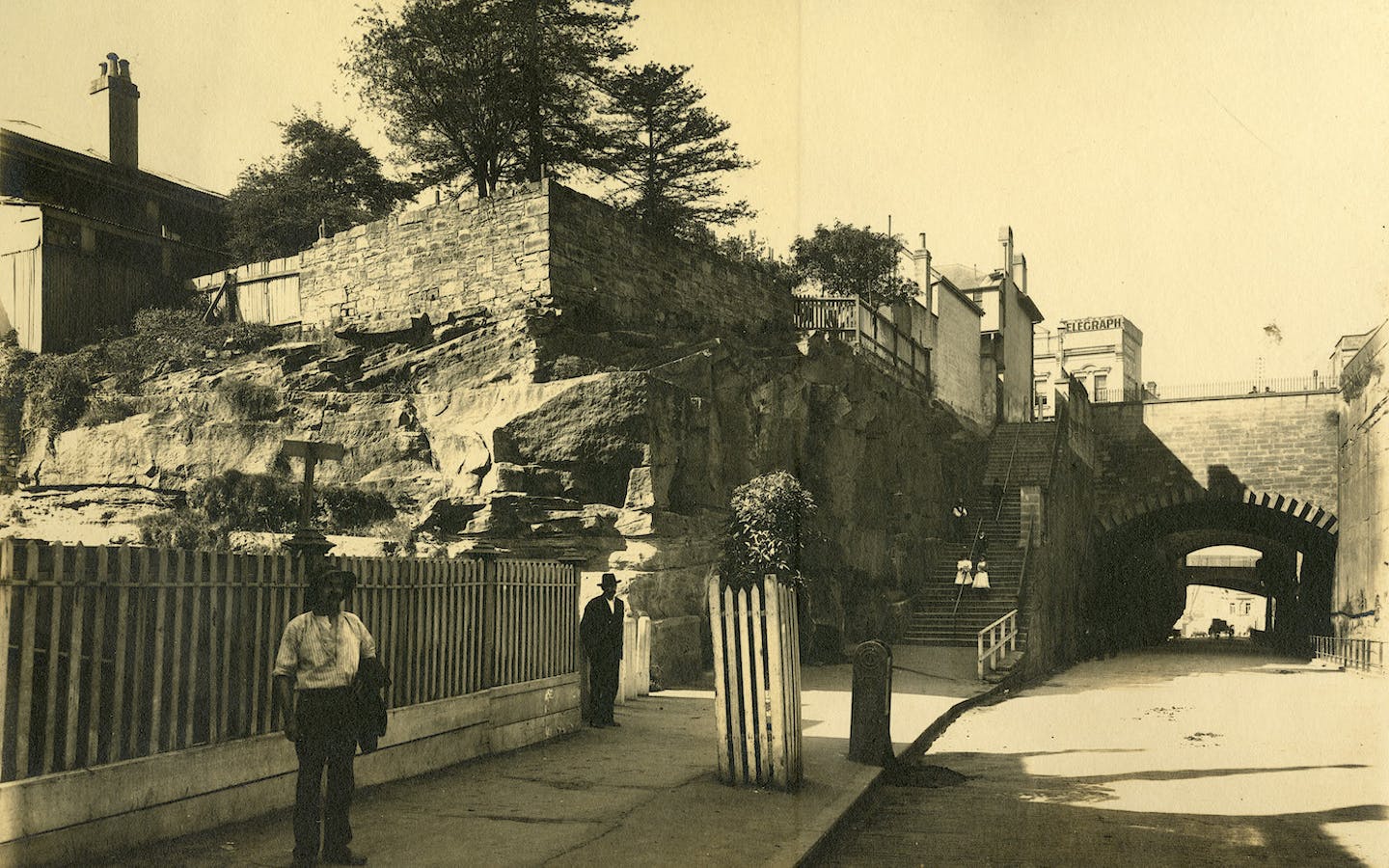
The ridge upon which the Military Hospital (now the National Trust Centre) and Fort Philip were erected provided a natural barrier between Sydney Cove and Darling Harbour. Calls for a more direct east-west route can be traced back to as early as 1804.
Although by 1810 a number of the streets in The Rocks had been officially named, plans to layout a regular street grid continued to be hampered by the uneven sandstone terrain. In its original configuration Argyle Street had two distinct halves, Upper and Lower Argyle Street, separated by stairs cut into the living rock.
Gloucester Street originally curved, following the top of the cliff. Part of this early alignment, and the cliff face, survives to Gloucester Walk at the rear of the Argyle Stores.